- Trails
-
Bikes
-
Gear
-
Tips & Tricks
-
About us
 16 mi
16 mi
 5 mi
5 mi
 8 mi
8 mi
 9 mi
9 mi
 5 mi
5 mi
 15 mi
15 mi
 6 mi
6 mi
 4 mi
4 mi
 8 mi
8 mi
 10 mi
10 mi
Missouri covers a total area of 69706.9 square miles consisting of 98.6% land and 1.4% water. Farmland occupies more than 28 million acres. There are more than 90,000 farms of pastures as well as corn, soybeans, rice, and cotton, among other crops.
The Capital of Missouri is Jefferson City, and the largest city by size and population is Kansas City.
The states bordering the landlocked state are Oklahoma, Kentucky, Iowa, Nebraska, Arkansas, Illinois, Kansas, and Tennessee.
The state is divided into four geographical regions; Central Dissected Till Plains, Ozark Plateau, Mississippi Alluvial Plain, and Osage Plains.
The landforms include the Ozark mountain range in the southwest with more than 6,000 caves and the Osage Plains and Great Plains grasslands of mixed-grass and tallgrass prairie in the west. The Mississippi River Alluvial Plain, which is also known as the flood plain, is in the southeast, where you will also find the two largest cities in the state.
In Missouri, you will find low mountains, flat plains, woodland valleys, deep caves, forested hills, rivers, lakes, springs, waterfalls, and fountains. The highest and lowest point is Taum Sauk Mountain in the wilderness area and the Saint Francis River, respectively.
| Land area (sq. mi; sq. km) | 69,715 sq mi (180,560 km2) |
| Minimum Elevation | 230 ft (70 m) |
| Maximum Elevation | 1,772 ft (540 m) |
According to the last census, there are 6,124,160 residents in Missouri, mainly composed of 79.6% non-Hispanic White, 11.5% African American, and 2.63% Hispanic White. Greater St. Louis is the largest metropolitan area with a population of 2.8 million.
In Missouri, 38.5 is the median age, and there are 50.9% women and 49.1% men.
97.9% of the population is made up of U.S. citizens. 4.19% are foreign-born residents. 6.28% speak a non-English language, and Spanish is the predominant non-English language, followed by Chinese and German.
The workforce is 2.8 million employees, and the median earning is $31,414 for women and $42,880 for men.
Motorized vehicles with $30.9B were the top mixed product, followed by mixed freight and pharmaceuticals, and domestic trade was $312B. The main trading partners are Illinois, Texas, and Kansas.
Men account for 41.4% of enrolled University students compared to 58.6% of women. The University of Missouri-Columbia is the largest in awarded degrees
The median property value is $163,600, and the median household income is $57,290, with the highest being $87,644 in St. Charles County. 67.1% of Missouri residents are homeowners.
| Total population | 6,160,281 (2020) |
| Population density (persons per sq. km) | 88.2/sq mi (34.1/km2) |
The summer seasons are hot, wet, and long, and they last from June to August, with an average temperature above 80 °F. Compared to the northern region, the southern region has more days of higher temperatures that range from 87 °F to 90 °F. July has a nighttime low of 70°F and a high of 89°F, and June has the most precipitation. In summer, there is heavy rainfall because of tropical cyclones. The wettest month is May.
Winters are dry, snowy, and mild to intensely cold. The season lasts from November to February, with an average high below 52°F. The nighttime lows can drop below-freezing temperature, especially in January, which has an average high of 43°F and nighttime low of 26°F. There may be rainfall caused by air masses from the northern plains, where the average is 20 inches of snow per year.
Spring is from March to May, and the wettest month is May. There are tornados in spring because of the inland location of Missouri.
The average temperature and precipitation in Fall, which lasts from September to November, are 56.5 °F and 10 inches, respectively.
| Month | Temperature |
|---|---|
| January | 29.8 °F |
| February | 33.8 °F |
| March | 43.5 °F |
| April | 54.6 °F |
| May | 64.2 °F |
| June | 73 °F |
| July | 77.6 °F |
| August | 76 °F |
| September | 68.3 °F |
| October | 57.1 °F |
| November | 44 °F |
| December | 33.3 °F |
With more than 1,380 miles of highway and state routes, Missouri is among the seven states with the largest highway system in America. The Interstate and auxiliary Interstate state highways include I-29, I-35, I-44, I-49, I-55, I-57, I-64, I-70, I-72, I-170, I-229, I-255, I-270, I-435, I-470, I-155, I-635, and I-670.
OATS Transit is available in 87 counties, and regional providers include SMTS (Southeast Missouri Transportation Service), the RideKC bus system, and the Metro Area Express (MAX) bus service. Urban areas have local transit systems like the City of Jefferson’s Transit Division (JEFFTRAN).
The 18-mile MetroLink light rail has 18 stations. Amtrak has 11 train stations and operates on four routes, including the Missouri River Runner.
There are 28 airports, and the main ones are St. Louis Lambert International Airport and Kansas City International Airport. The latter has around 10 million annual passengers and provides shuttle services.
The state has 14 public ports, including the Port of Metropolitan St. Louis, and railroad tracks spanning 4,800 miles.
80.8% drive to work, and the reliable infrastructure has shortened the average travel time to 23.9 minutes.
Tornados occur at a rate of nearly 30 per year in the Cave State, which is famous for Harry S. Truman, baseball, barbecue, murals, country music, and the Gateway Arch, which is the tallest monument in the country. We have already noted the months that are likely to have tornados, so you can plan your trip to Missouri accordingly.
The following are the other must-see sights:
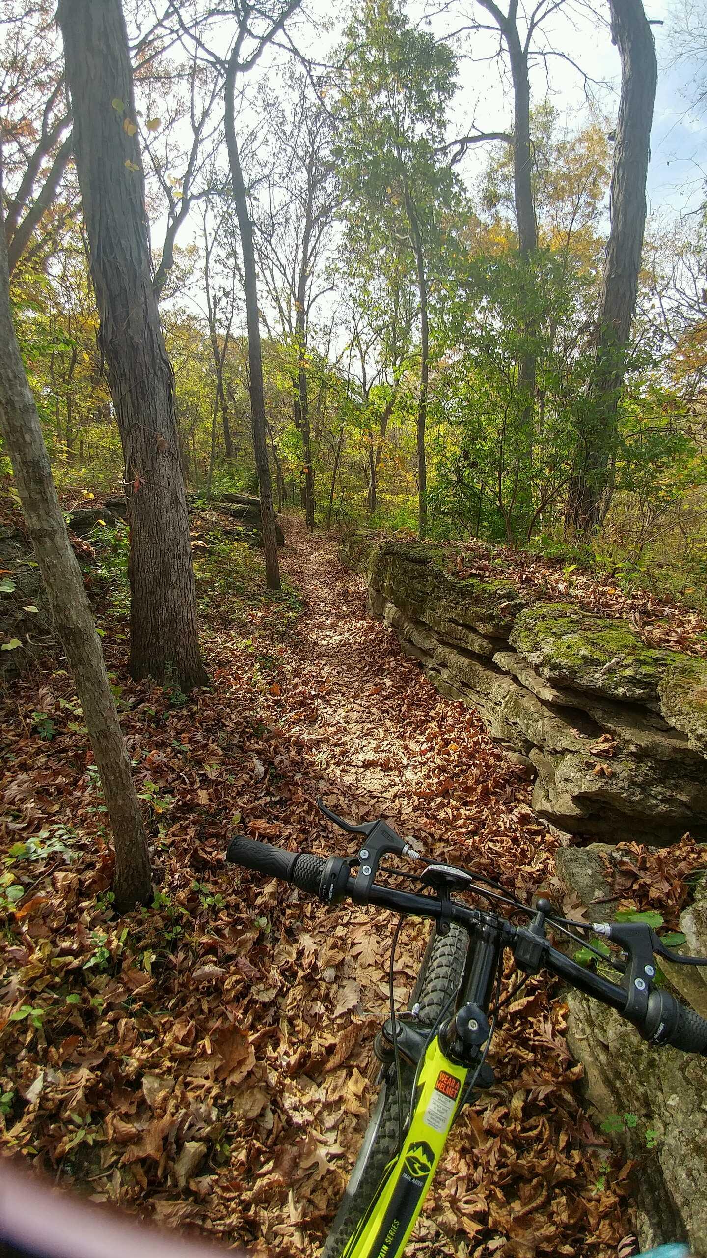
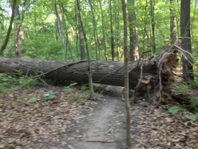
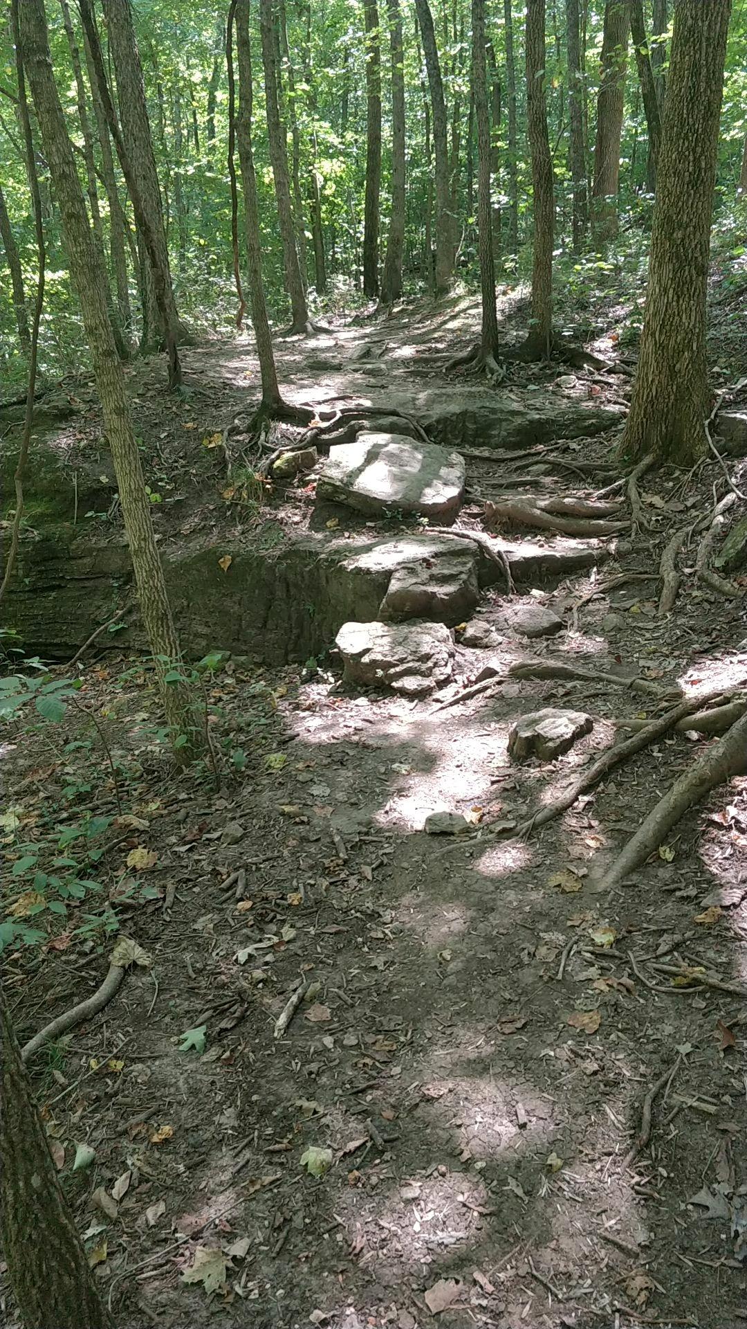
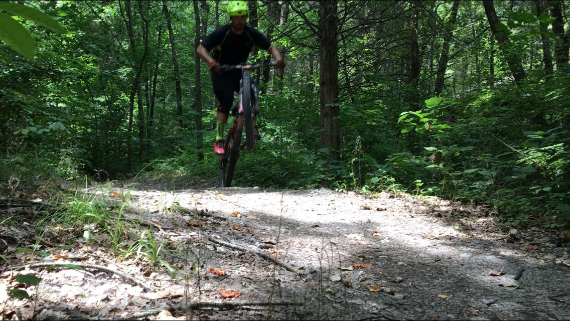
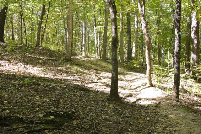
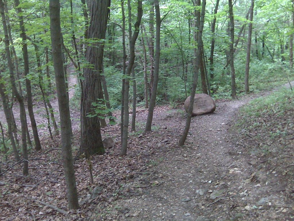
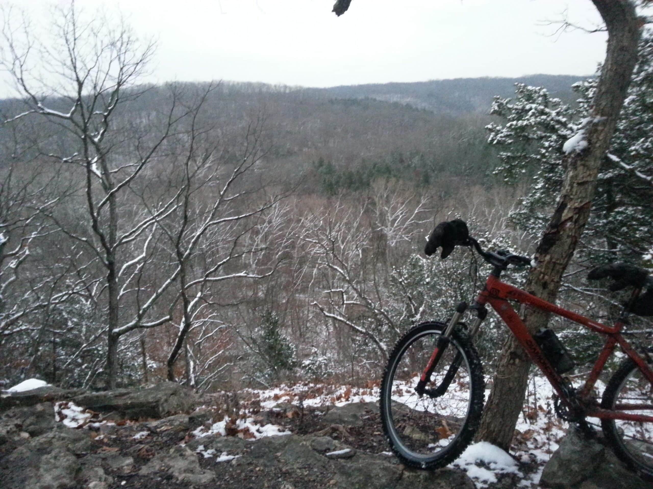
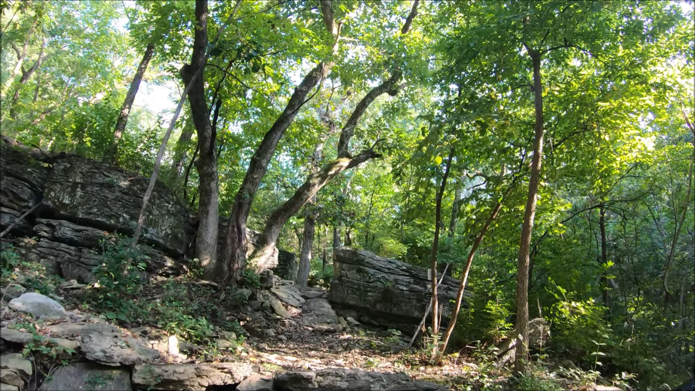
Swope Park sits on more than 1,800 acres, and it is where you will find the Kansas City Zoo and watch Broadway performers at the famous Starlight Theatre, with a sitting capacity of 7,958. The park receives more than 2 million visitors annually, and it is near the Nelson-Atkins Museum of Art. Swope Park trail system is a combination of flowy routes with gentle inclines and few rocks and very challenging trails with multiple roots, chunky rocks, and large rollers and dips.
Frisco Highline Trail, with 277 m of total ascent, road crossings, and bridges with railings, is more than 6 feet wide, mostly flat, well-shaded, and paved with asphalt. It runs for more than 30 miles. There are deep ruts in some sections. The paved Galloway Creek Greenway passes along the James River, and it has woodlands and a creek along the way as well as Sequiota Park with caves, a picnic area, and fishing lakes.
Among the easy to challenging 19 trails that add up to more than 25 miles, the most technical ones are Wagon, Jigsaw, Customline, Highline, FunPak, and the one-way downhill Heretic and Highline Express. The moderately difficult trails are Underworld, Analog, Hi-Fi, Bridger, Badger, Stonewall, and Flowride.