Minneapolis, Minnesota: Area Description
Minneapolis has a total area of 58.4 miles and is the largest city in Minnesota. It is situated on Mississippi River banks next to the state’s capital, Saint Paul, where St. Croix and Minnesota River flow together. The well-known river is a principal conduit for trade and it has been instrumental in the city’s development. It is also a major migration route for fish and birds in North America.
Saint Paul and Minneapolis cities known as the Twin Cities are half an hour away from Wisconsin and they share climatic features.
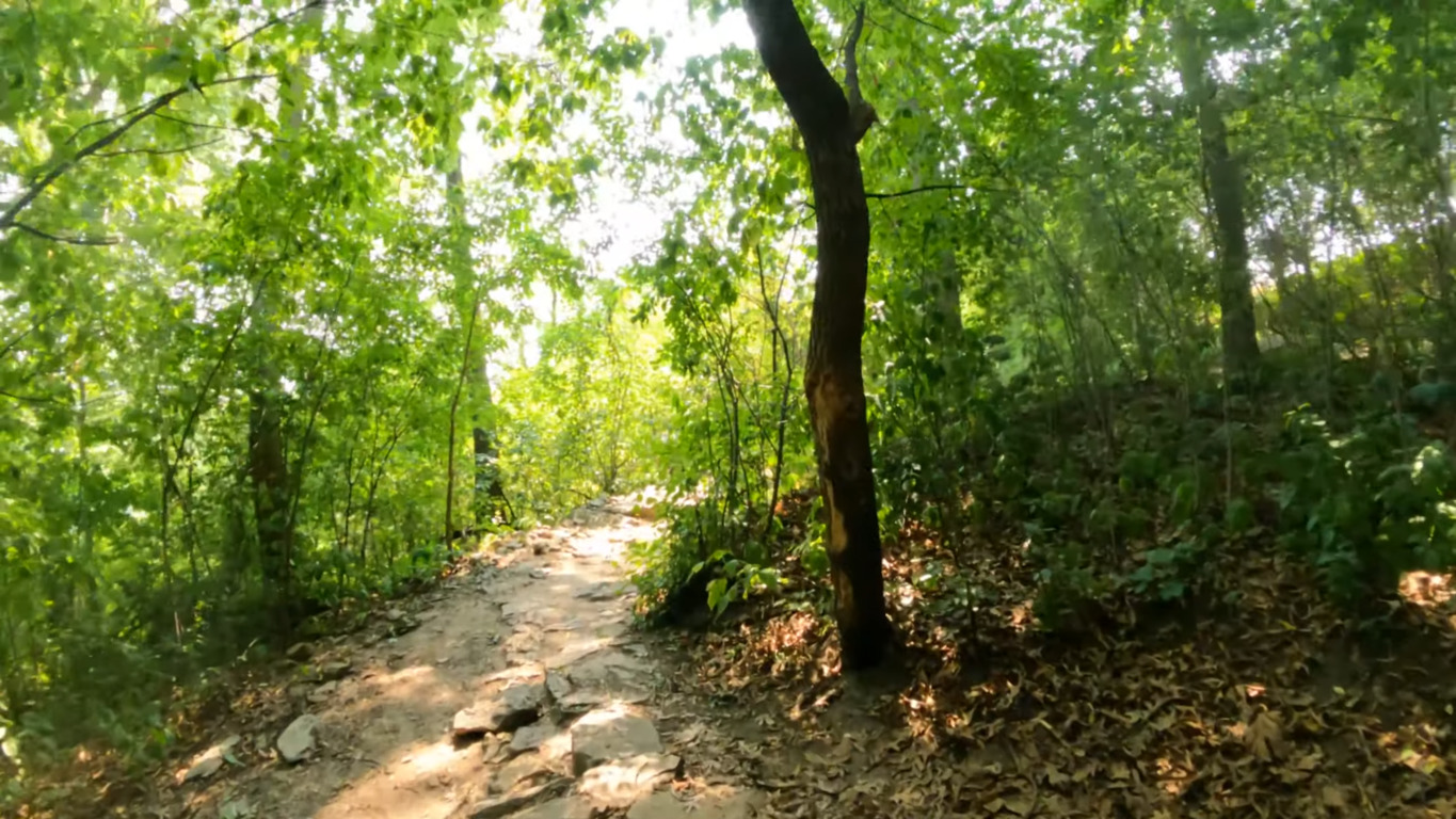
Minneapolis has waterfalls, creeks, 170 parks that include Minnehaha Park and Theodore Wirth Park within its city limits, and 24 lakes that are mostly shallow and small.
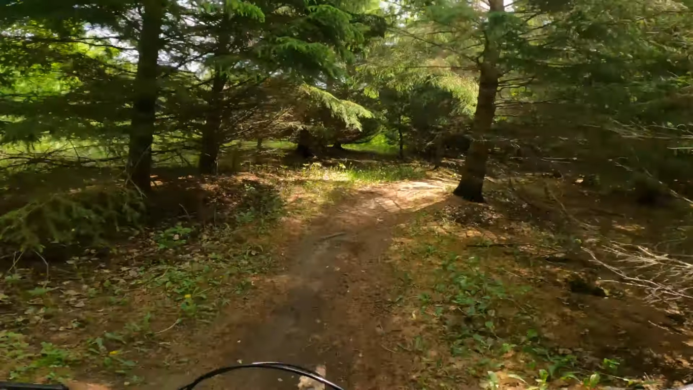
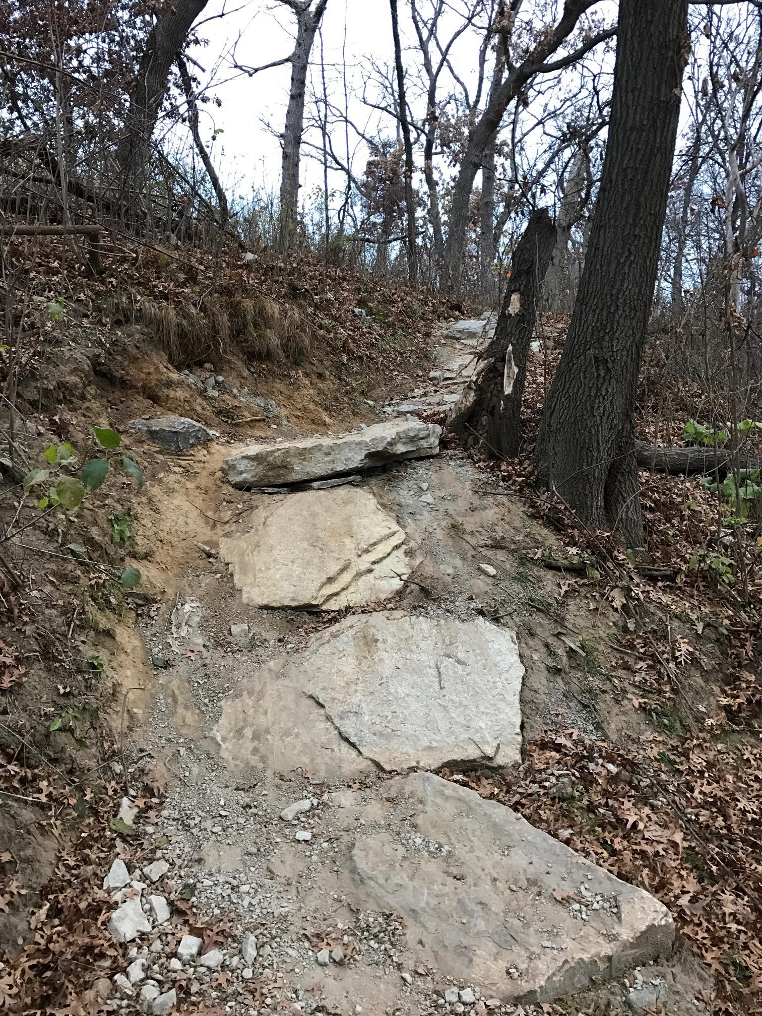
The Chain of Lakes comprises Bde Maka Ska, Brownie Lake, Lake of the Isles, Lake Harriet, and Cedar Lake. The Brownie Lake trail with various rocky sections starts and stops south of Parkway Bridge and there are designated bike paths as well as walking trails for hikers and runners.
Fishing, kayaking and surfing are common in summer. Ice builds up in these lakes during winter but you can still have fun ice skiing and playing ice hockey.
| Land area (sq. m; sq. km) |
148.94 km2 |
| Minimum Elevation |
687 feet |
| Maximum Elevation |
830 ft |
Demographics of Minneapolis
Minneapolis is the most populous city in the state, followed by St. Paul and Rochester.
The current city population is 452,091 and the metropolitan area, Minneapolis-Saint Paul, has 3.5 million residents.
The median age is 32.3 years and the main racial composition is 59.7% White of Scandinavian and German origins, 18.6% Black and 5.88% Asian. The average rate of citizenship is 92.6% and 47.28% of naturalized citizens are from Africa. 78.38% of the residents speak English only.
There are 178,886 households; the rate of home ownership is 47.4%, the median household income is $66,068 and the average earning is $46,274. The average car ownership per household is two cars and the majority of people commute alone to work at an average time of 23.2 minutes.
There is a notable gender disparity between the men and women enrolled in universities; the enrollment for women is 35.57% more than for men according to the recent census.
| Total population (thousands, million) |
425 336 (2021) |
| Population density (persons per sq. km) |
7,962.11/sq mi |
Climate of Minneapolis
Minneapolis has hot and humid summers and cold, snowy and freezing winters. The average annual rainfall and snowfall are 32 inches and 52 inches respectively and the average temperature hardly rises above 92°F or drops below -11°F.
Summer lasts from May to September and the temperature on the hottest days reaches 97°F. July averages lows of 65°F and highs of 84°F. This period is accompanied by heat waves and frequent afternoon thunderstorms.
The winters make the city one of the coldest in America. They last from November to March and the average daily high is 36°F, with January averaging highs of 24°F and lows of 10°F. Winter is characterized by precipitation in form of sleet and snowfall and freezing lakes. Since it can be tricky to ride in winter, you should check the Minneapolis bike trails’ maps for other activities such as ice fishing that you can take part in during the cold seasons.
Spring is prone to fluctuating weather and tornadoes due to its close proximity to Tornado Alley. Lightning, thunderstorms and snowing may also occur in spring seasons.
Floods occur almost every year in the Twin Cities because of the two nearby rivers. The most massive occurred in 1965 and it caused more than $25 million in damage.
Average Temperature by Months and Seasons
| Month |
Average Temperature |
| January |
16°F |
| February |
20°F |
| March |
33°F |
| April |
47°F |
| May |
59°F |
| June |
69°F |
| July |
74°F |
| August |
71°F |
| September |
62°F |
| October |
49°F |
| November |
34°F |
| December |
20°F |
Infrastructure
CNBC ranked Minnesota among the top 10 states for infrastructure.
Minneapolis–Saint Paul International Airport is located less than 10 miles from the Twin Cities and it is the busiest in the Midwest region. It is the main hub for Delta Air Lines and Sun Country Airlines with more than 30 million annual passengers. In Minneapolis, there are more than seven commercial airports as well as ports on the Mississippi River and Lake Superior.
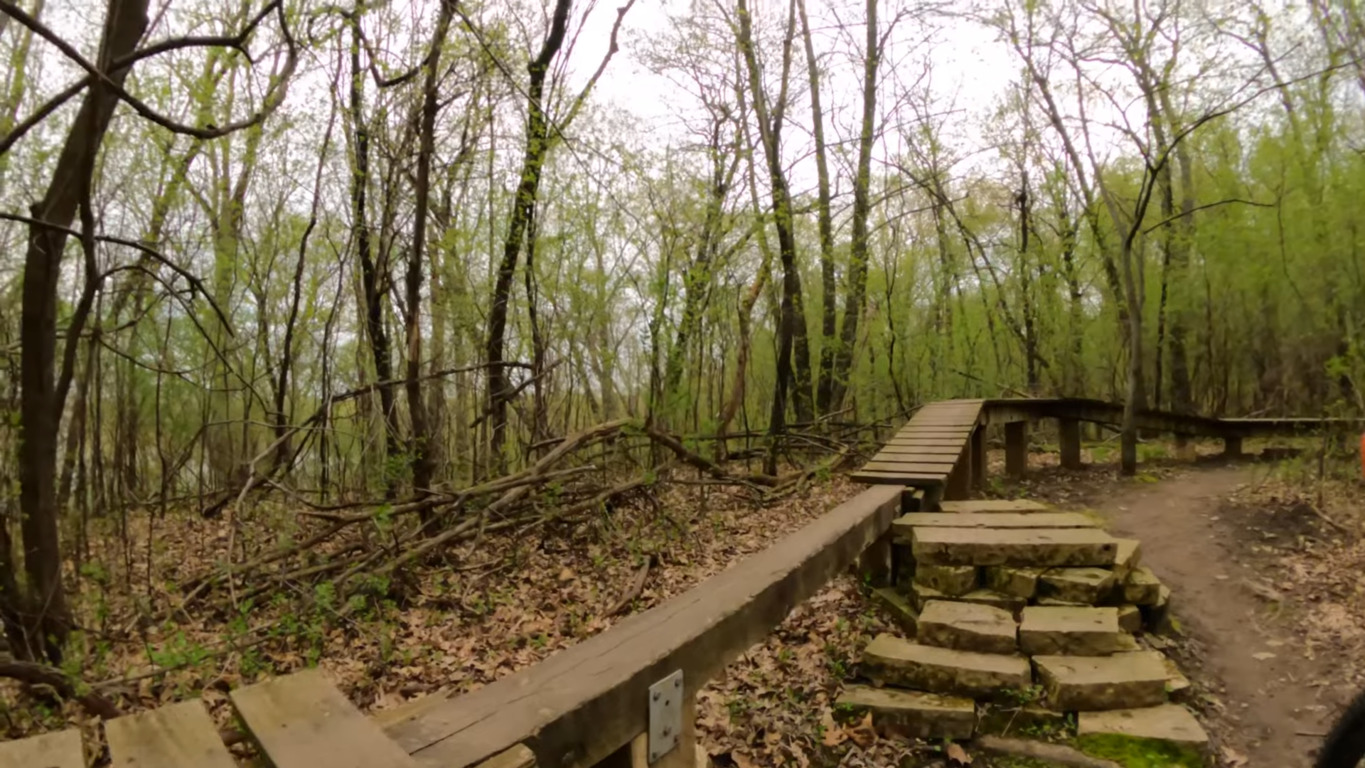
I-90, 1-94 and I-35 are the major interstate highways. There are also several US Highways, MN State Highways, protected bike lanes and assorted trails with several miles for running, hiking and riding.
To ease commute times in the mass transit system, all motorists can use the E-ZPass Express Lanes for free during off-peak hours. Single occupancy vehicles pay a fee to use the lanes during peak hours.
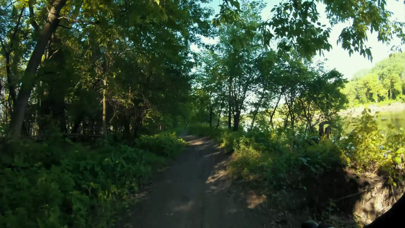
Many trails run along lakes and rivers. The Minnesota River Bottoms is a two-way trail running along the river. It offers decent speed and mileage and features split routes that are popular with bikers, hikers, joggers and bird watchers. You can view beavers, bald eagles, mink and deer.
There are sections with sand and logs on the trail as a result of intermittent floods. You also have to watch out for overgrowth and stinging nettles in summer.
Sights and landmarks in Minneapolis
In addition to the blue lakes, Minneapolis has stunning museums, theaters and art galleries such as the Minneapolis Sculpture Garden, Walker Art Center, Guthrie Theater and Minneapolis Institute of Arts.
To get a true experience, we recommend the following top attractions:
- Minneapolis Skyway System
- St. Anthony Falls on the Mississippi River
- The Mall of America
- Juicy Lucy cheeseburgers
- Honeycrisp apples
- Tater tot hotdish
- Chain of Lakes
- First Avenue
FAQ about trails in Minneapolis
Where can I find a mountain biking trail in Minneapolis?
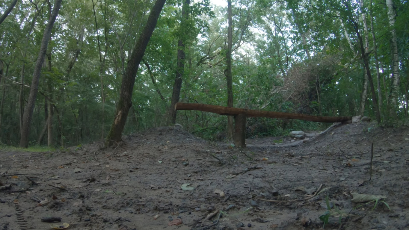
The Salem Hills Mountain Bike Trail at Salem Hills Park is a set of stacked loops with a mixture of woodland and prairie bushes. It is an ideal workout trail with a few hills that are more forgiving and can help new riders to build endurance, and there are considerable roots, jumps, berms and an optional large rock that intermediate riders can navigate towards the end of the trail.
Are the Twin Cities bike trails doubletrack?
The Lake Elmo Park Preserve is a doubletrack trail with a variety of terrains such as grass, gravel, sand, water crossings, firm surfaces and loose rocks, and some sections can get muddy in spring. There are prairie meadows and great views and the climbs range from easy to steep. In winter, walking is prohibited as the trail is used for skiing.
Which bike trails are near Carver Lake Park?
You can access the Carver Lake Park trail from the main parking lot. It has optional technical features that are varied for intermediate and expert riders, plenty of benches, a picnic area near the beach, a pump track, a tot track, parking lots, and a bicycle playground. The park includes a volleyball court and onsite restrooms and leashed dogs are allowed.
 1.24 mi